Scalable diagram of the grass layer
The grass layer should be designed as a gradient from the ocean to the inland portion of the site: salt, sand retention, soil formation, biomass, and localized edible pockets. For 3-5 km, this is not a continuous lawn, but a strip-modular system.
From the ocean to the interior
Five belts inside the working depth up to 300 m
A working depth of up to 300 meters from the shore doesn't mean the entire area is seeded with equal density. This means the project has five functional zones, each with its own specific purpose.
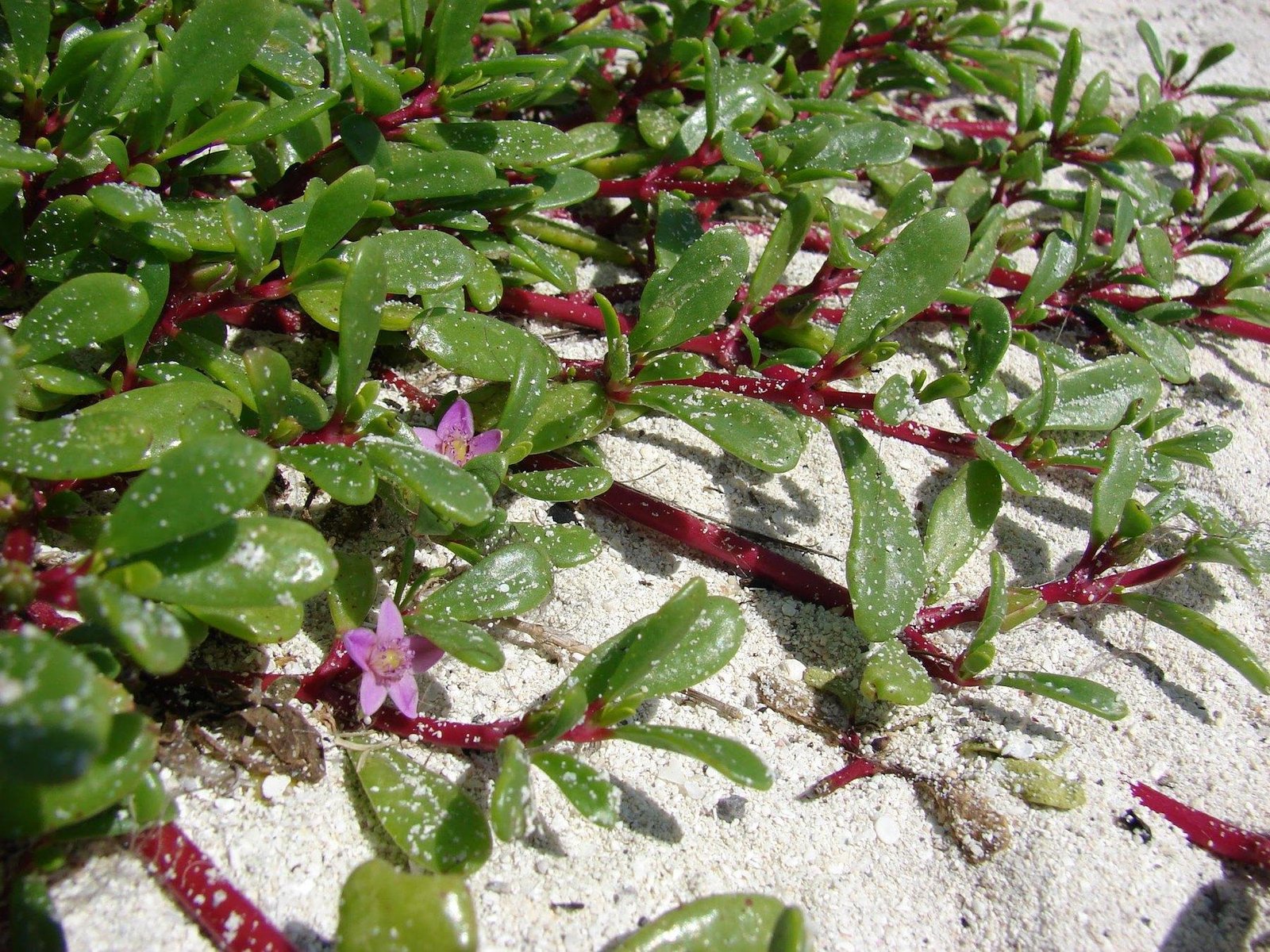
The salt-resistant first layer works near the ocean and holds the surface.
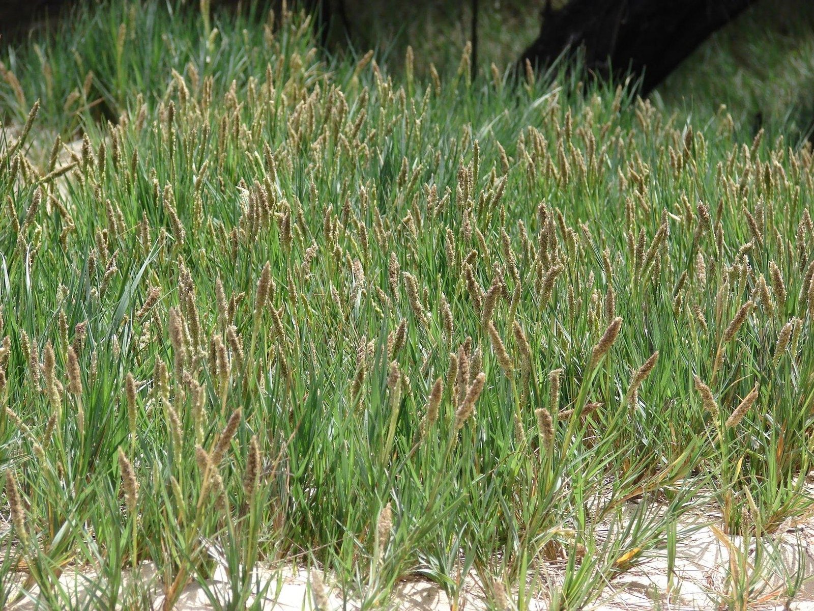
Intermediate zones require grasses with a strong root system and tolerance to sand.
Zone scheme
| Zone | Distance from the ocean | The main task |
|---|---|---|
| 1 | 0-30 m | survive salt and sea aerosol |
| 2 | 30-80 m | stop the sand and start the cover |
| 3 | 80-150 m | begin soil formation |
| 4 | 150-300 m | biomass, feed and fortification |
| 5 | locally in the shade/behind the barrier | edible and more delicate herbs |
Unified table of herbs by zones
| Zone | View | Latin name | Role | Priority |
|---|---|---|---|---|
| 1 | Sesuvium | Sesuvium purslane | extreme salt, first cover | very tall |
| 1 | Eluropus | Aeluropus littoralis | salty soils, root network | very tall |
| 1 | Paspalum | Paspalum sheathed | salt barrier, cover | high |
| 2 | Bermuda grass | Cynodon dactylon | sand consolidation | very tall |
| 2 | Sporobolus | Sporobolus spicatus | sands, salt resistance | high |
| 2 | Cenchrus | Cenchrus ciliaris | structure, transition to the food layer | high |
| 3 | Panics | Panicum turgidum | dune stabilization | high |
| 3 | Laziurus | Lasiurus scindicus | sand fixation | high |
| 3 | Alfalfa | Medicago sativa | nitrogen, soil improvement | average |
| 4 | Vetiver | Chrysopogon zizanioides | deep fortification | very high point |
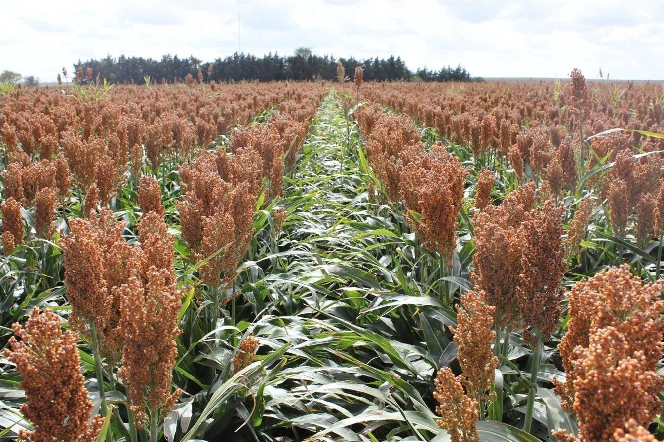
| 4 | Sorghum | Sorghum bicolor | biomass, fodder | high |
| 4 | Millet | Pennisetum glaucus | feed, structure | high |
| 5 | Mint | Mentha spp. | only wet pockets | short |
| 5 | Coriander | Coriander | edible layer | average |
| 5 | Thyme | Thymus spp. | persistent aromatic layer | high |
Calculation of area
| Line length | Total area of zones 1-4 | We are actually sowing in the 1st stage | Comment |
|---|---|---|---|
| 3 km | 900,000 m² = 90 hectares | about 225,000 m² = 22.5 hectares | strip-modular launch |
| 5 km | 1,500,000 m² = 150 hectares | about 375,000 m² = 37.5 hectares | expansion after pilot testing |
There's no need to seed 90-150 hectares as a continuous lawn. A realistic first phase involves patches, strips, and modules, then building up through self-seed, organic matter accumulation, and gradual overseeding.
The share of seeding in the first phase
| Zone | We actually sow first | Logics |
|---|---|---|
| 1 | 40-60% | form a salt-resistant edge |
| 2 | 30-50% | stop the sand and start the cover |
| 3 | 20-35% | start soil formation without unnecessary costs |
| 4 | 15-25% | create biomass and a forage layer at specific points |
Minimum viable launch
first line: Sesuvium portulacastrum, Aeluropus littoralis, Paspalum vaginatum, Carpobrotus edulis
second line: Cynodon dactylon, Sporobolus spicatus, Cenchrus ciliaris
third line: Panicum turgidum, Lasiurus scindicus, Medicago sativa
fourth line: Chrysopogon zizanioides, Sorghum bicolor, Pennisetum glaucum
Water by gradient
For a 3-5 km area, it's impossible to rely on constant watering of the entire area. Water distribution isn't uniform everywhere: Zone 1 receives only a start-up watering, Zone 2 receives infrequent initial watering, Zone 3 receives first-season support, and Zone 4 receives primary controlled watering.